
Commercial Case Study · Fort Wayne, IN
A Von Maur- and Burlington-anchored power center — the full tenant mix, from the air.
A large retail complex documented in two drone passes: a wide, mapping-altitude orbit establishing the entire site and access corridor, then a closer pass moving from the anchor tenants down through the smaller in-line shops. Explore it frame by frame or watch it play as a guided flythrough.
Scroll to explore
Aerial Survey & Tenant Mix
28 frames captured October 11, 2025. Switch between an interactive, zoomable tour and an autoplaying cinematic flythrough.
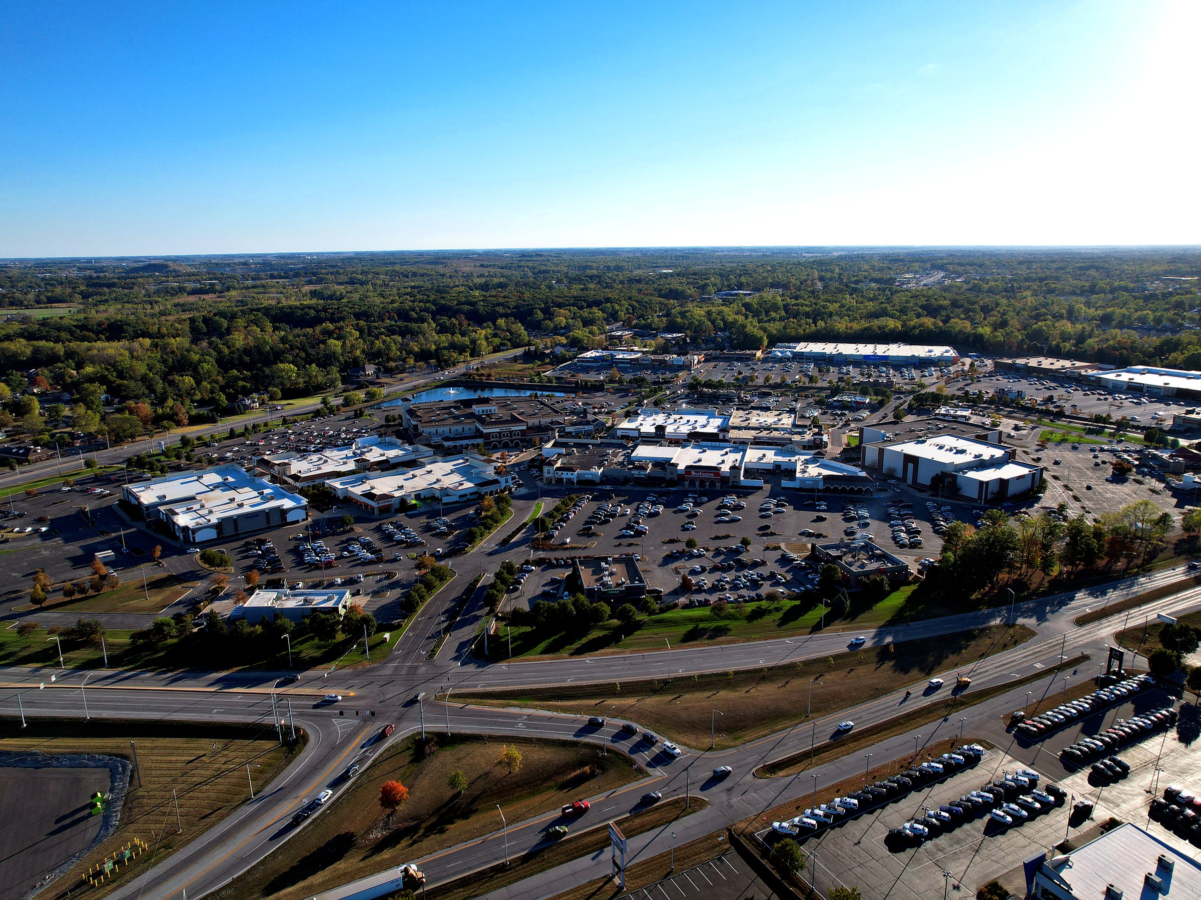
A full-site aerial survey of a multi-tenant power center anchored by Von Maur and Burlington — a wide, mapping-altitude pass establishing the whole property and surrounding corridor, then a closer pass moving tenant by tenant from the anchors down to the smaller in-line shops.
Need a tenant-mix survey for your shopping center or complex?
Brokers, property managers, and REITs use drone surveys like this one for leasing packages, offering memorandums, and marketing that shows a property's full tenant mix at a glance. Get a custom quote in minutes.